Skip to content
Looking for high quality drone photography in Suffolk? At KiK Creative, we provide expert aerial imagery and 4K video for businesses, real estate, construction and events. Our licensed drone operators hold A2CofC and GVC certifications, ensuring safe, professional and fully insured drone services. Whether you need landscape shots, aerial mapping or cinematic footage, we deliver the results that make an impact.
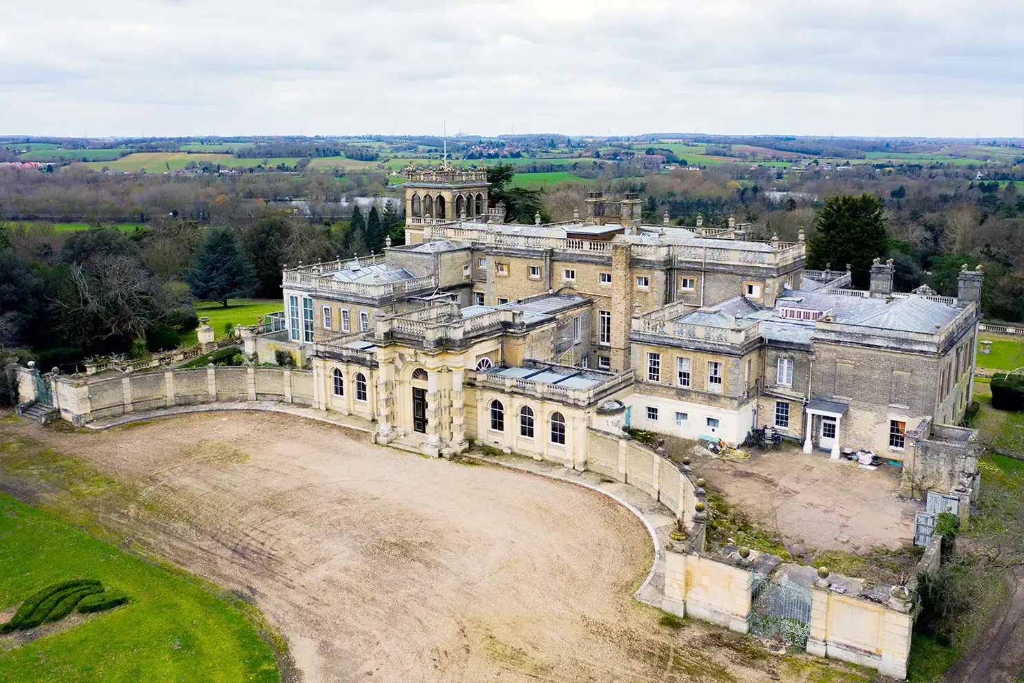
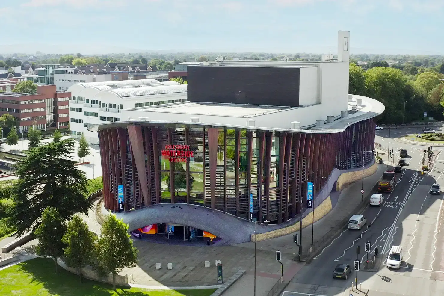
Capture Suffolk’s stunning landscapes, properties and events from a breathtaking aerial perspective. Our high resolution drone photography delivers detailed images perfect for marketing, planning and promotional use.
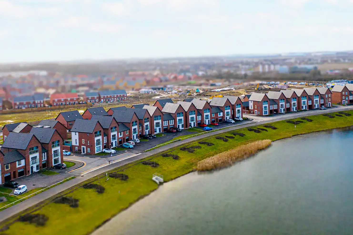
Give potential buyers a unique perspective with aerial property photography and video tours. Whether it’s a countryside estate, coastal home or commercial development, our drone footage highlights every angle to make your listing stand out.
We provide precise aerial mapping services for land surveys, construction planning and agricultural management. Our advanced drones generate detailed 2D orthomosaics and 3D models offering valuable data for developers, engineers and landowners in Suffolk.
Make your brand unforgettable with cinematic drone footage and striking aerial photography. Whether promoting tourism, showcasing a business or launching a new campaign, our aerial visuals create impact and engagement.
Experience fast, immersive aerial footage with FPV drone videography. Perfect for action packed videos, promotional content and virtual tours. FPV drones capture dynamic, high speed perspectives that traditional cameras can’t achieve.
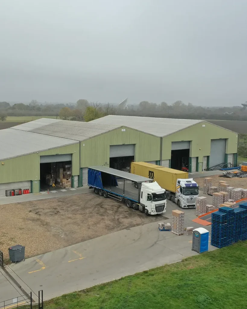
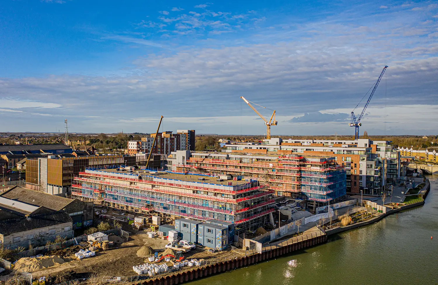
Monitor progress, conduct inspections and document large scale projects with construction drone photography. Our aerial surveys help builders, developers and project managers track site developments efficiently and accurately.
From golf courses to stadiums, we provide professional sports drone photography that captures the energy and excitement of your event. Ideal for promotional content, live coverage and marketing campaigns.
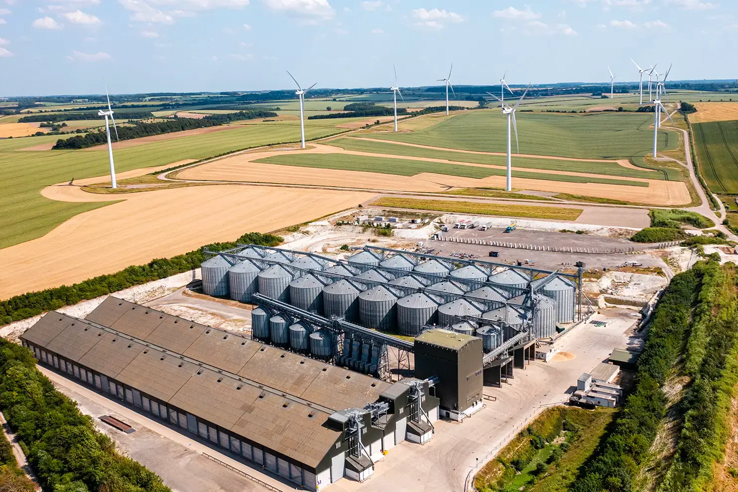
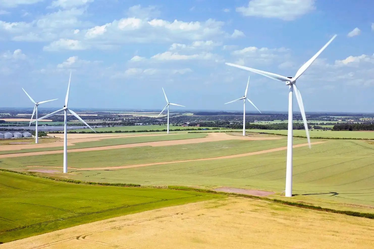
Improve agricultural efficiency with drone assisted crop monitoring and land analysis. Our aerial photography helps farmers assess crop health, irrigation needs and land planning, leading to smarter data driven decisions.
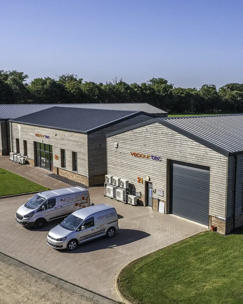
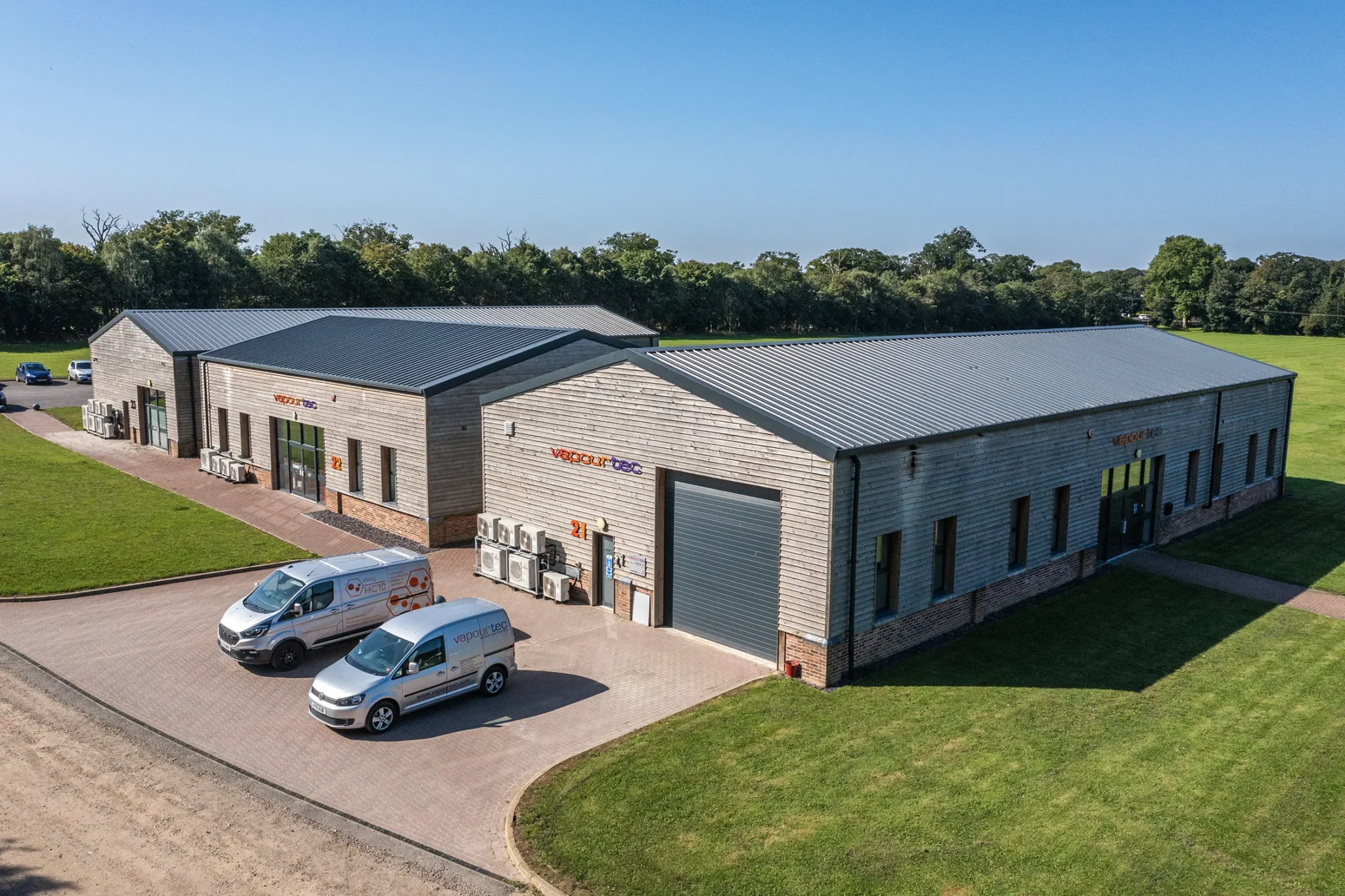
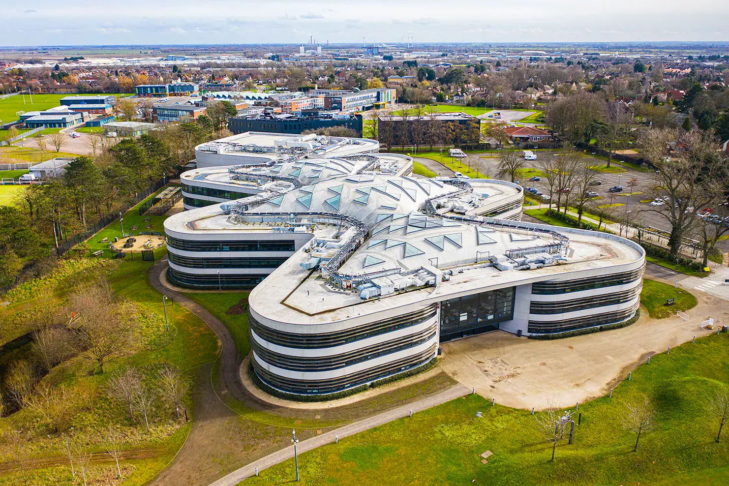
Showcase Suffolk’s thriving industries with high quality aerial imagery for factories, business parks and corporate facilities. Whether for marketing, reports or site analysis, our drone photography provides valuable insights and stunning visuals.
Our professional drones capture sharp quality images and stunning 4K video, ensuring you get the best quality visuals for your project. From sweeping landscape shots to dynamic real estate showcases, our expertise in drone photography guarantees impressive results.

When hiring a drone photographer, certification matters. Our A2CofC and GVC-certified operators meet all CAA (Civil Aviation Authority) regulations, allowing us to legally and safely capture aerial imagery in a variety of locations across Suffolk. This ensures we can fly closer to structures, operate in built up areas and deliver high quality results with full legal compliance.
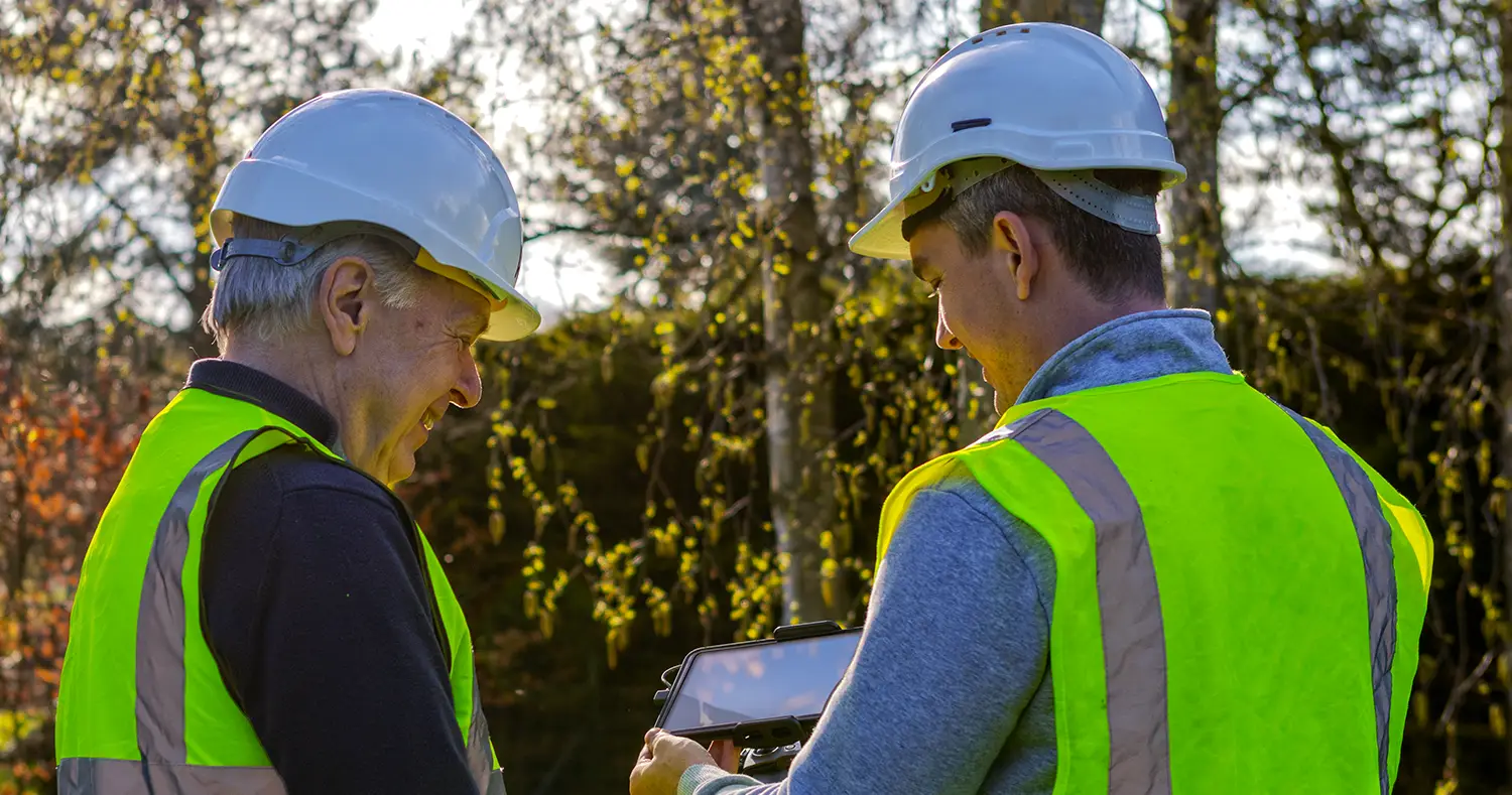
Safety is our priority. We follow strict CAA guidelines, conducting thorough risk assessments and pre-flight planning before every project. Whether flying over construction sites, commercial properties or open farmland, we ensure a smooth operation with no unnecessary risks.
When it comes to Drone Photography in Suffolk, you need experienced operators who understand both the creative and technical aspects of aerial imagery. At KiK Creative, we combine cutting edge drone technology and a commitment to safety to deliver outstanding results.
Our A2CofC and GVC-certified pilots ensure full compliance with UK drone regulations, allowing us to operate legally in a wide range of environments, including urban areas, commercial properties and construction sites. Plus, with our comprehensive insurance, you can trust that every flight is handled with professionalism and care.
Our drone photography is perfect for marketing visuals, aerial property tours and construction progress monitoring to name a few.
We operate with comprehensive insurance, covering all drone photography projects in Suffolk. Whether we’re filming real estate, conducting surveys or capturing event footage, your project is fully protected giving you confidence in every flight.
We understand Suffolk’s landscapes, industries and regulations, allowing us to tailor our drone services to your specific needs. From coastal real estate photography to agricultural mapping in rural Suffolk, we work with estate agents, developers, marketers and business owners to provide quality, industry specific aerial solutions.
Tell us about your vision, location and requirements. No matter the job, we’ll tailor our approach to match your needs.
We handle all flight planning, risk assessments and necessary permissions to ensure a safe and legally compliant operation. Our certified pilots take care of every detail.
Shoot day has finally arrived! Expect us to come fully equipped to capture high resolution images and slick 4K video. Every shot is carefully planned to maximise impact.
We edit and refine your images and footage, delivering them in the format you need for online or print.
Yes! We are A2CofC and GVC-certified drone operators, fully compliant with CAA (Civil Aviation Authority) regulations. This allows us to operate legally in a variety of locations, including urban areas, construction sites and rural landscapes across Suffolk.
Absolutely. We have comprehensive insurance ensuring every drone flight is covered. Whether we’re working on a real estate shoot, a construction survey or an event, your project is protected.
We use top quality drones equipped with 4K video capabilities, high resolution cameras and stabilised gimbals. For more dynamic content we also offer FPV (First Person View) drone videography, as well as advanced 2D and 3D mapping drones for surveying and land analysis.
We cover all areas of Suffolk, including Ipswich, Bury St Edmunds, Lowestoft, Felixstowe, Newmarket and surrounding rural areas. If you have a specific location in mind, we’ll assess airspace restrictions and obtain necessary permissions to operate safely.
Yes, our certifications allow us to fly in more restricted areas, including urban and commercial spaces, as long as we follow CAA regulations and obtain any required permissions. We always conduct a thorough risk assessment before flying in built up areas.
We provide drone photography and videography services for:
If the shoot takes place on private property, we will need the landowner’s permission. For public spaces we may need to obtain local authority permits. We handle all necessary approvals to ensure a smooth operation.
Yes! We use FPV drones for indoor flights, allowing us to capture cinematic fly-throughs of properties and businesses. This is great for real estate, hospitality and promotional videos.
Weather conditions are a key factor in drone operations. Strong winds, heavy rain or fog can affect flight safety and image quality. If the weather is unsuitable, we will reschedule at no extra cost to ensure you get the best possible results.
Pricing varies depending on the location, duration and type of content required. Contact us for a tailored quote based on your project’s needs.
Simply get in touch with us via our website, email or give us a call. We’ll discuss your project, provide recommendations and schedule a session that works best for you.
If you’d like to discuss a potential project or have any questions. We’d love to have a chat so give us a call or complete the form.
 Optimized by Seraphinite Accelerator